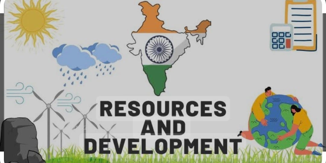
Resources and Development
Resources and Development is the chapter of Social Science of class 10 that covers the syllabus of the class 10 gives the basic idea of Indian Resources and their development.
Resources :
Everything which is available in the environment to satisfy our needs which is technologically accessible, economically feasible and culturally acceptable.
The process of transformation of things available in environment involves an interactive relationship between nature, technology and institutions. Human being interact with nature by means of technology and accelerate the institutions for economic development.
Human being act as resources they transform the material in environment into useful resources.
They are classified on the basis of
i) origin — biotic and non biotic.
ii) exhaustibility — renewable and nonrenewable
iii) ownership — individual , community , national ,international
iv) status of development —– potential ,developed stocks ,reserves.
DEVELOPMENT OF RESOURCES:
We know that resources are vital ,free gift of nature for survival and maintaining the quality of life so human being are using it carelessly which causes the problems like
i) Depletion of resources for satisfying the greed of few persons .
ii) Accumulation of resources in few hands which divides the society into rich and poor
iii) over exploitation of resources created the global ecological crises such as global warming.
For sustained quality of life it is important an equitable distribution of resources if this present trend continue that the earth existence will become impossible so planning of resources have become essential
SUSTAINABLE ECONOMIC DEVELOPMENT:
When the development take place without damaging the environment and d in present development must compromise with the needs of future generation.
Rio de Janeiro Earth Summit 1992 took place in Brazil, more than100 heads of states attended it addressing the urgent problems of environmental protection and economic development of the world.
It was agenda 21 signed by all attending leaders at United Nation Conference on Environment and Development
RESCOURSE PLANNING:
Frist is the judicious use of resources which are present in enormous quantity with diversity, In India there are some places which are rich in one resource and poor in other some are self-sufficient.
The states like Jharkhand ,MP, are rich in mineral and coal. Arunachal Pradesh rich in water but lack of in infrastructure. Rajasthan rich in solar and wind energy but lack with other resources.
RESOURCE PLANNING IN INDIA:
It involves
i)Identification and inventory of resources across the region
ii)Evolving a planning structure endowed with appropriate technology ,skill and institution setup for implementation of plans .
iii) Matching the resource development plans with national development plans. For the development of any region depend on it’s resources some region having rich resource but included in backward on the other hand some places without any resources are taken in rich and developed ‘ this was the main reason for colonisation. that is why
GANDHI SAID; “there is enough for everybody’s needs and not for any body’s greed.”
LAND RESOURCES:
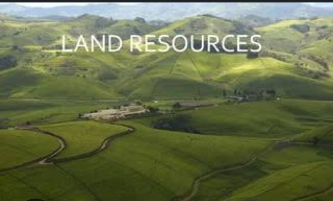
This is used by us in different manner it is the natural resource of great importance it support vegetation, wild life, human life economic activities transport and communication.
In our country 43% land is plain which provide the facility of agriculture and industry. 30% is mountain aera provides perennial flow of water through rivers facilitate of tourism and ecological balance 27% is plateau region possess rich in minerals fossil fuels and forests.
LAND UTILISATION: Land resources are used in following ways such as
i) FOREST
ii) Land not available for cultivation it is either barren, waste land not good for agriculture so used , buildings roads etc.
iii) Uncultivated land which is permanent pastures, grazing land, used as trees crop groves and uncultivated land for more than 5 years is culturable land.
iv) FALLOWS land it is uncultivated land left for 1 to 5 years .
v)NET SOWN AERA in which crops are grown and harvested Area sown more than once in a year +Net sown aera = gross cropped aera
LAND USE IN INDIA is determined by topography, climate, types of soil, and human factors as population density, technological capability and culture and traditions . 95% of human needs are accomplished from land so human activities have degraded the land by means of deforestation, overgrazing, mining quarrying.
In the states , Chhattisgarh, MP, Odisha deforestation due to mining have caused serious degradation of land, overgrazing is seen in Punjab, Gujarat, Rajasthan MP and Maharasthra
.Water logging due to over irrigation seen in Punjab ,Haryana ,Western UP increase salinity and alkalinity damage the land .
The mineral processing like grinding of lime stone calcite for cement industry produce lot of dust in atmosphere, industrial waste is also the cause foe land degradation.
AFFORESTATION and proper management of grazing, planting of shelter of plants, control on overgrazing stabilization of sand dunes by growing thorny bushes may check the land degradation.
proper management of wasteland, control over mining activities, proper discharge and disposal of industrial effluents and wastes after the treatment can reduce land degradation.
SOIL AS RESOURCE:
It is the renewable natural resource; it is the medium of plant growth and support different types of living organism on the earth. The soil is a living system.
It takes million of years to form the soil. Relief, parent rocks, climate, vegetation other forms of life ,change in temperature, action of running water wind and glaciers are responsible for the formation of soil.
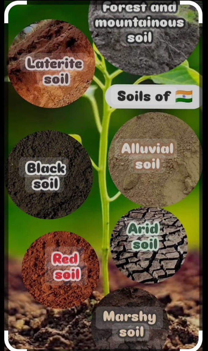
TYPES OF SOIL:
i) ALLUVIAL SOIL:
The entire northern plain is made up of alluvial soil which is deposited by three important Himalayan rivers system the Indus, The Ganga, the Brahmaputra extended to Rajasthan and Gujarat through a narrow corridor, eastern coastal plain in the deltas of Mahanadi Godavari, Krishana and Kaveri rivers.
More piedmont plains such as DUAR
i)The alluvial soil can be classified as old alluvial (Bangar)having higher concentration of kankar and new alluvial soil (Khadar) has more fine particles and more fertile. It consists of potash, phosphoric acid and lime suitable for sugarcane, paddy, wheat, cereal, pluses crops.
ii)BLACK SOIL; Black in colour is also called regur soils very ideal for cotton plantation, itis typical of Deccan trap/Basalt of Maharashtra, Saurashtras, Malwa MP and Chhattisgarh it is made of clayey material, well known for holding the moisture rich in calcium carbonate, magnesium, potash and lime.
iii) RED AND YELLOW SOIL: It is the crystalline igneous rocks in the aera of rainfall in the eastern and southern parts of the Deccan plateau found in parts in Odisha, Chhattisgarh southern parts of the middle ganga plain in western ghats iron crystalline and metamorphic rocks. yellow due to hydrated form.
iv) LATERITE SOIL: It is developed under tropical and subtropical climate with alternate wet and dry season, acidic in nature pH <6 present in western ghats, Maharashtra Odisha, West Bengal support deciduous and evergreen forest. It is humus poor present in hilly aera of Karnataka, Kerla Tamil Nadu suitable for cashew nuts.
v) ARID SOIL; It is red brown in colour sandy and saline in nature, salt content is high due to the dry climate, high temperature, evaporation of water at faster rate lack of hummus and moisture contain due to calcium content downward which restrict infiltration of water.
vi) FOREST SOIL : Mostly found in mountain and hilly aera where sufficient rain is available. They are loamy silty in valley it is in snow covered aeras of Himalayas expensive denudation and acidic with low humus .
SOIL EROSION AND CONSERVATION :
The denudation /removal of soil cover and washing down of soil is called soil erosion which is due to deforestation,overgrazing ,construction and mining ,natural process like wind ,glacier water .
.The running water cut the clayey soil makes deep channels called gullies ,the land becomes unfit for cultivation is called bad land/ravines (Chambal Basin) due to seedy flow of water the upper sheet of washed it is sheet erosion.
Ploughing along the contours lines can decelerate the flow of water down the slope Terrace cultivation checks the erosion, strip cropping, and shelter belts have greatly contributed to checking the soil erosion.
Conclusion : Resources and Development
Resources and Development is the chapter which gives the idea of Resources and it’s development, Types of land its location and utilization ,Types of soil ,location and crops used in.
Follow us on : Facebook
Read More : Mineral and Energy Resources
Read More : Forest Wild life and Water Resources